Monday 25 February 2013

Lliw Valley Reservoirs and Cwm Clydach

The Sunday evening conference call to "The Navigator" informed me that the walk for Monday would start from the Lliw Valley Reservoirs and then would become an adventure.

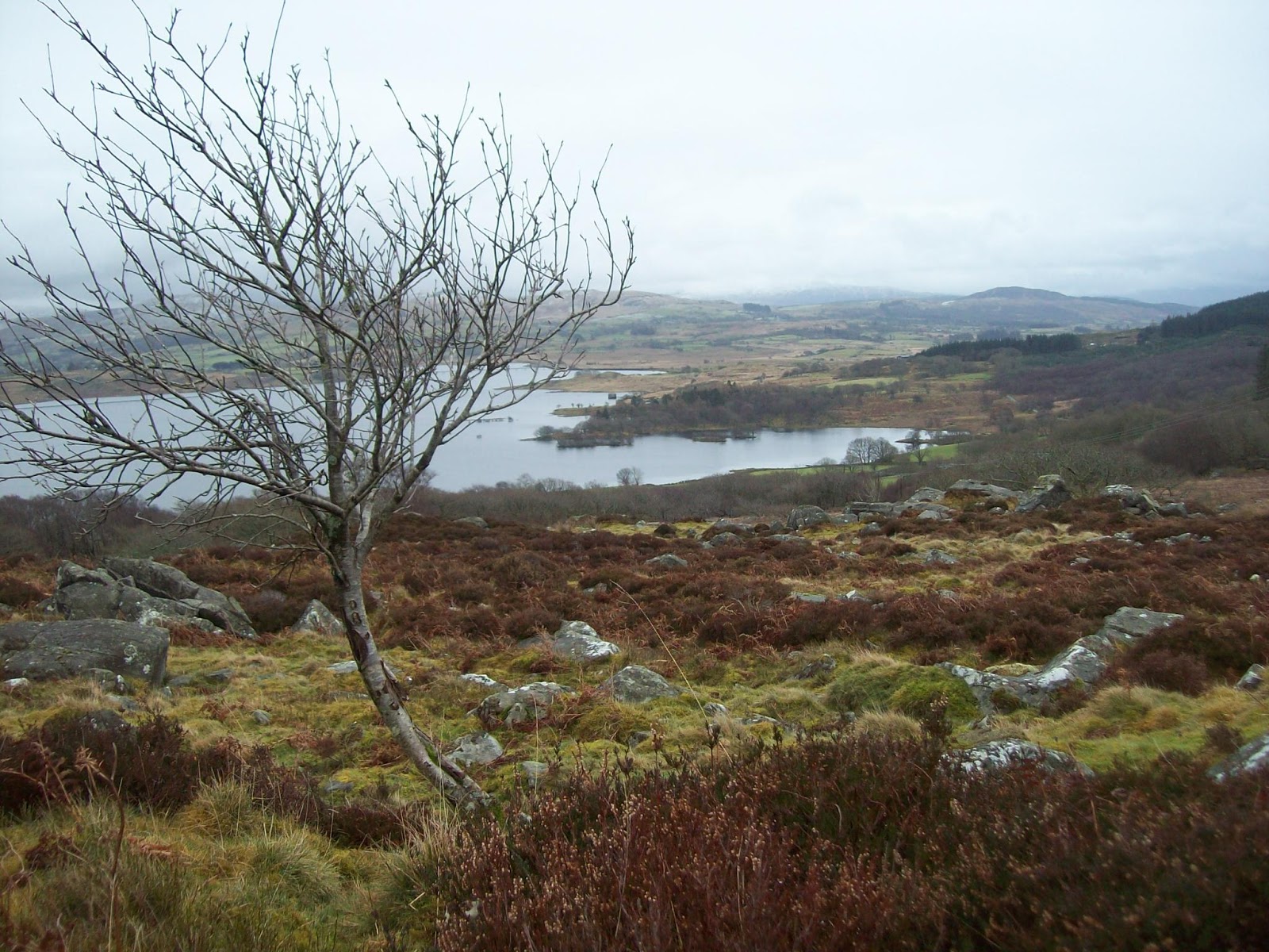
As we left the car at the Lower Lliw Reservoir it started to snow but thankfully this was short lived.

The route is shown here and I will not give a blow by blow account. We left the reservoir complex and walked on the minor roads to just beyond Cynhordy, where a bridle path was taken which led down to Craig Cefn-Parc and our morning coffee by the river.


So this is where the horse meat came from

An ideal elevenses stop


We now walked upstream along Cwm Clydach which is a waymarked  trail


Although the temperature was rising there were still lots of icicles to be seen.


 We left this trail near Nant Moel Isaf and walked west and then south back down towards  the Upper Lliw reservoir and then the lower reservoir back to the car. This latter stretch follows the Gower Way, albeit at this point it is  a long way from the Gower.


Monday 18 February 2013

Capel Gwynfe & Black Mountain

With the weather forecast showing yellow suns all day, it was a foregone conclusion that we would be having a day out. The Navigator had decided on a walk partially based on one described in Alan Richards excellent guide book volume 2 of Great Walks in Carmarthenshire. This one was to start at Capel Gwynfe and take in part of the far western end of the Black Mountain and finish back in Capel Gwynfe.

Today we had a new member to our weekly party.  Chris, who is gradually winding down to retirement and is enjoying a four day week and I am told, trying to reduce this even further.

Route

Capel Gwynfe is a small hamlet but has its own Information Office, albeit on the small side!


The weather was fine but there was a chill in the air. The route was downhill for the first hour, always a bad sign as you just know there will be a stiff climb to come.  We could already see that climb.


Elevenses was had  near the ford just after the farm, Neuadd Fach.


We now started on the climb which in due course led us, somewhat wind blown to Cefn y Cylchau, where hidden behind a convenient rock we had lunch.

Heading downhill we came to the Afon Clydach and we were able to easily cross this just upstream of the waterfalls and then made for the large disused quarries.


From there we continued downhill on a graded path which leads to the hairpin to the hairpin and minor road which will take you back to Capel Gwynfe.  However we struck off north from Clogau Bach using paths and bridle ways leading to a converted school just short of the car.


Wednesday 13 February 2013

Northern Rhinogydd (Day 7)

Here we are on our last day and potentially the hardest. I had walked  in the Rhinogydd quite some years ago when the bigger hills of Rhinog Fawr, Rhinog Fach and Y Llethr were tackled.  My memory was of hard going - I soon found there had been no change.

Today we were heading towards Moel Ysgyfarnogod and the northern Diffwys.

Route I must add that this is not accurate once we hit the heavily shaded area!

We parked the car in a small quarry scraping east of Cefn Clawdd, the only occupied holding in this area, and then took the path leading to Wern Fach.


  I say path, more like a small river. The whole area is one huge bog with lots squelching and the occasional swear word when your foothold sinks beyond the top of your gaiter. There is one signpost directing you to Cwm Bychan and the path roughly follows a wall.


As the land rose the bog became less and a coffee break was well deserved.

Our way up to the tops was via Bwlch Gwylim, a steep pull through snow.


 Once at the bwlch the views  opened up over to the estuary and Portmerion ( remember the series "The Prisoner?"). A lunch spot was found overlooking Llyn Corn Ystwc.


From here the route map should be taken with a pinch of salt. We were roughly heading for the ground below Moel Ysgyfarnogod and Diffwys. There was a lot of up and down, the latter involving some scrambling, not the place to be caught out in the mist - with hindsight good fun.

Having had enough "fun" we headed down to the wall and as planned found the track which led us back to Cefn Clawdd and the car.


If you want the wilderness field, this the place to come.

The end of an enjoyable week.

Llyn Trawsfynydd (Day 6)

It was time for a rest day, of sorts, so a flattish walk was called for and as Llyn Trawsfynydd was close at hand, plan A was a goer.

The weather was the usual, mixed.


We walked through Trawsfynydd village, which is larger than one may expect. One famous resident was Hedd Wyn click and we passed by his home.  I understand that his nephew lives there and a guided tour can be arranged - shouldn't take long!


We turned down to the lake and followed a good hard surface path, which is also the National Cycle Path 8, reading the occasional information board about the flora and fauna.  


At the power station we were surprised to see so many cars, bearing in mind the station is now closed.  However reading more information panels, the decommissioning is on-going and will not end until 2020. Click

The path continues adjacent to woods which have the most vivid green moss I have ever seen - I assume there is no connection to the nuclear facility!


In the north west corner is the dam under which the Afon Prysor exits, it enters from the south east corner. The narrow,gorge shown as Ceunant Llennyrch looks worth exploring, but not today by two weary walkers.


From here the easy walking stops and wet moorland is met, passing Coed y Rhygen Nature Reserve. We found a lunch stop near here with good views down to the lake and beyond.


Reluctantly we set off for the last leg where we were soon back on a minor road and heading for the long footbridge which takes you back into the village of Trawsfynydd.


Hopefully tomorrow we will have a bit more fuel in our tanks as the Rhinogydd beckons.


Tuesday 12 February 2013

Manod Mawr (Day 5)

Unfortunately for Andy who had returned home on Tuesday night, the forecast for today was looking much better, albeit still cold.

The Navigator's plan was for an ascent of Manod Mawr which overlooks Blaenau Festiniog.

Route

The day did not start well for me as I discovered that my flask had leaked its whole contents into my rucksack.(The leak I discovered later that evening was my fault.) I would have to be polite to The Navigator today as I would need to share his hot drink.

We parked in Manod Village and headed for the paths which would take us to the bwlch between Manod Bach and Manod Mawr.


There was more snow on the ground than we had seen in previous days and as  we climbed the inclined path  past Llyn-y-Manod it became deeper,  perhaps leaving our microspikes back at base could be a mistake. There were good views over to the Moelwyns and the Stwlan Dam and down to Blaenau Festiniog.


Near the top of the path we heard what seemed to be siren and then saw a sign explaining that when it stopped an explosion may follow! We did wait but heard nothing more. As we reached the top of the path there was clearly work going on with a large quarry lorry and digger in sight.

Before the climb to the summit we stopped for lunch, sitting in the snow.


Although the height of Manod Mawr is moderate the views are well worth the climb.  It was again windy up here. We retraced our steps to the quarry road as the direct route south from the top would lead to an unfortunate end!


The track led us down to Cwm Teigl and a minor road.


We left this to take a footpath past Caecano Mawr and back to the car.