Tuesday, 25 February 2014

Cwm Gwaun

The Sunday discussion resulted in a decision to visit the Gwaun Valley and the western end of the Carn Ingli range of hills.

Route

The car journey started with some excitement as we came across an accident which had just happened.  A young man had somehow managed to skid into a hedge and was unable to drive the car back on the road. He was a little concerned as he was on his way to a job interview with the police!!

Anyway with a number of people helping and the use of a tow rope we recovered the car and he drove away.  We would love to know how the interview went.

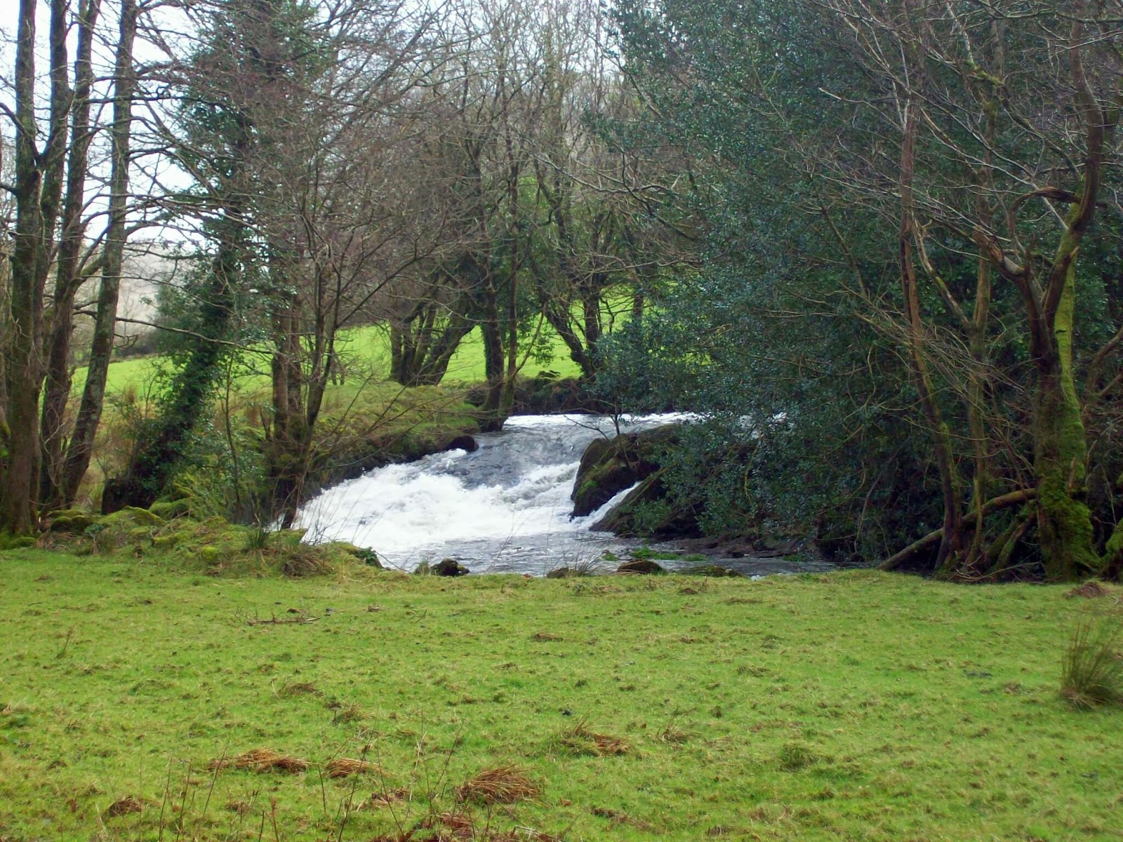
Our journey continued and we parked up in Pontfaen in the Gwaun Valley. We took a route alongside the Afon Gwaun which after all the rain was running well.


Afon Gwaun


 Following a coffee break we joined the minor road to Llanychaer which headed steeply uphill to find a green lane and eventually onto the open ground and again uphill to Garn Fawr and Mynydd Dinas.


All the way up there!

Looking towards Fishguard and Goodwick

You can just see the Irish Ferry in Goodwick

Garn Fawr


We continued to Carn Enoch and onto the minor road to join the path leading to Bedd Morris with a strong wind from the south west pushing us along.

Looking toward Dinas Island

Carn Enoch


The wind would now be head on for a while as we descended overlooking Cwm Bach and then to the picnic site at Sychnant for a well deserved cup of coffee and a short rest before walking back along the road to Ponfaen.


Back to the Gwaun Valley

Looking into Cwm Bach


Monday, 17 February 2014

Gyrn Ddu, Gyrn Goch and Bwlch Mawr

Once more to the hills the navigator declared. This time the hills, the ones just north east of Yr Eifls making up Gyrn Ddu, Gyrn Goch and Bwlch Mawr.

Route

We parked just off the main road east of Trefor. We took the path passing the property I think was called "The Rock" and  then up the zig zags to Pen y Bwlch and onto Gyrn Ddu.

The zig zags


Abandoned farmstead

Again the wind was strong and we found shelter to have coffee with views of our next hill, Gyrn Goch.

Gyrn Goch from Gyrn Ddu
The walls shown on the map were indeed a blessing to shelter us from the winds blowing hard from the west.
Where next navigator?

The three peaks of Yr Eifl

It was far too windy at the top for lunch and so we headed down in a south easterly direction to a lunch spot in the sheepfolds.

Lunch
The well signposted path was followed until we cut up north again in the shelter of a wall up onto Bwlch Mawr with extensive views to Snowdonia.

Summit of Bwlch Mawr


From the summit we headed roughly (and I mean roughly) north westerly down the hillside and towards the village of Clynnog Fawr.

A modern wreck - quad bike?

Old mill wheel

Clynnog Fawr

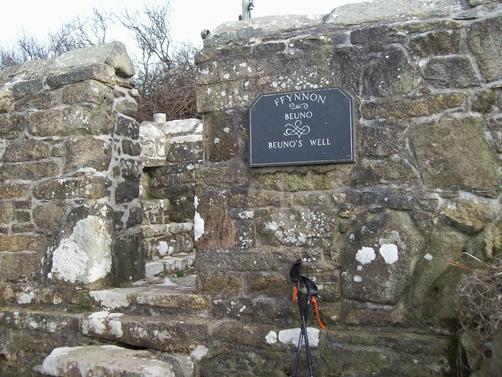
We had hoped that the green route shown on the map would be a nice lane but was mostly a bramble fest and then a small stream.  However we made it down to the road and walked back to the car passing Ffynnon Bueno


Aberdaron

Another promising day but windy and the Navigator chose a coastal walk based on Aberdaron (the next day this seaside town had the highest wind speeds in Wales - 108m.p.h.)

Today's mistake was forgetting our National Trust cards and we had to pay a parking fee - probably the only fee they received that day. A new National Trust centre is being built here, due for opening later this year.


Adjacent to car park


Route

We took the minor road heading north west to Anelog to join the coastal path and up onto Mynydd Anelog and very strong winds.


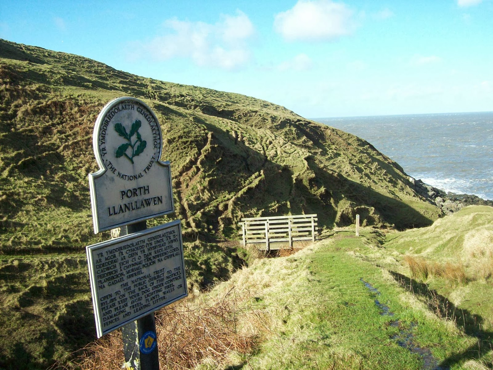
. The coast path was again regained walking through Porth Llanllawen and the disbanded coastal look out which gave good views of Bardsey Island.


Walking from here I thought I could see smoke but which turned out to be a waterfall being blown back upstream which we had to walk next to and received an unwelcome shower.


We turned the corner of the peninsula and at last had the wind on our backs. Aberdaron now came into view  but the path seemed to lead away from there and onto Pen y Cil. It was here that we had a short battering of hail stones.

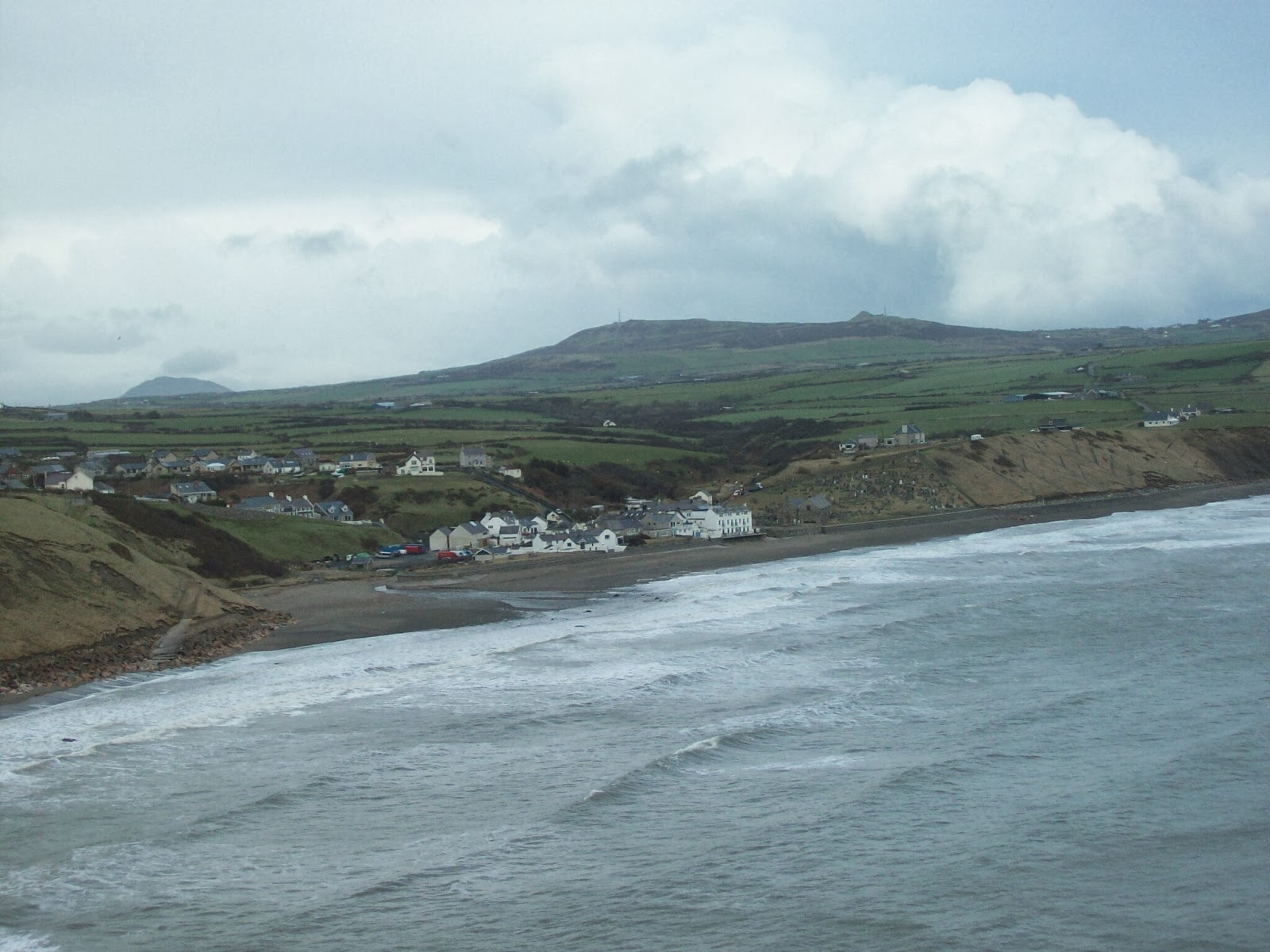
Aberdaron was again in sight as we walked past Porth y Pistyll, Porth Cloch and Porth Meudwy and back to the car.


Yr Eifl

With the forecast looking favourable the Navigator decided on heading for the hills and the peaks of Yr Eifl.

On the way I realised that I had forgotten both my camera and mobile phone and so the photos below are taken from a distance on a different day.  Googling "Yr Eifl" will bring up plenty.

Route

We drove through Llithfaen and parked up at the signed car park on the road which leads down to Nant Gwrtheyrn, the Welsh Language Centre.

The obvious track leading north east was followed to Bwlch Yr Eifl overlooking the quarry workings. One of the blogs I had read indicated that the way up to the hill on the left was fenced off but that is not the case now. We walked up the concrete steps which leads to a mast and turned right and scrambled up the rocks to a path which leads to the top where we had coffee and enjoyed the views north along the coast and Anglesey. To the east we could see snow on the far tops and on our next objective, the main peak of Yr Eifl.


Down at the Bwlch we started the climb walking through snow and unfortunately mist which would block up the views from the top. The trig point at the top includes a metal sculpture which I have failed to find the meaning of.  It was windy up here and we descended to find shelter to have lunch.

Down we went again only to climb again to the interesting top of Tre'r Ceiri a well preserved stone fort with numerous hut circles still visible. We spent some time here exploring the fort before heading south west back to the car.

Sunday, 16 February 2014

Abersoch to Pwllheli

With various weather sites consulted it appeared that the planned  day on the hills would have to be postponed not because of rain but very high winds and the Navigator suggested a coastal walk from Abersoch back to Pwllheli.  My brother in law, Andy travelled over from Chester to join us. As Andy lived in England he had to pay for the bus trip to Abersoch as Terry and I smugly produced our bus passes.

Route

The planning was immaculate as we had the wind on our backs the whole time. We noticed a few trees which had not withstood the wind one of which had just missed a big house overlooking the beach.

Abersoch harbour

We walked along the beach annd up onto Mynydd Tir y Cwmwd with views back to the St Tudwals islands.
Looking west from Mynydd Tir y Cwmwd

St Tudwals Islands

Looking north from Mynydd Tir yr Cwmwd


On the east side of the headland we came across a statue which the Navigator knows as the Tin Man.

A chill wind blows through

Looking north east to the hills
 We walked back down to the beach below Llanbedrog and along the cliffs to the headland of Carreg y Defaid.  There was a sad site here as we found the body of a cormorant which presumably had been caught in the wind and blown into a wire fence.


We found a spot out of the wind for lunch and the almost flew back to Pwllheli along the beach and onto Carreg yr Imbill before heading back into the town.

Lunch stop

A mini Tryfan? However this is Carreg yr Imbill

Magic Mushroom