Once more to the hills the navigator declared. This time the hills, the ones just north east of Yr Eifls making up Gyrn Ddu, Gyrn Goch and Bwlch Mawr.
Route
We parked just off the main road east of Trefor. We took the path passing the property I think was called "The Rock" and then up the zig zags to Pen y Bwlch and onto Gyrn Ddu.
 |
| The zig zags |
 |
| Abandoned farmstead |
Again the wind was strong and we found shelter to have coffee with views of our next hill, Gyrn Goch.
 |
| Gyrn Goch from Gyrn Ddu |
The walls shown on the map were indeed a blessing to shelter us from the winds blowing hard from the west.
 |
| Where next navigator? |
 |
| The three peaks of Yr Eifl |
It was far too windy at the top for lunch and so we headed down in a south easterly direction to a lunch spot in the sheepfolds.
 |
| Lunch |
The well signposted path was followed until we cut up north again in the shelter of a wall up onto Bwlch Mawr with extensive views to Snowdonia.
 |
| Summit of Bwlch Mawr |
From the summit we headed roughly (and I mean roughly) north westerly down the hillside and towards the village of Clynnog Fawr.
 |
| A modern wreck - quad bike? |
 |
| Old mill wheel |
 |
| Clynnog Fawr |
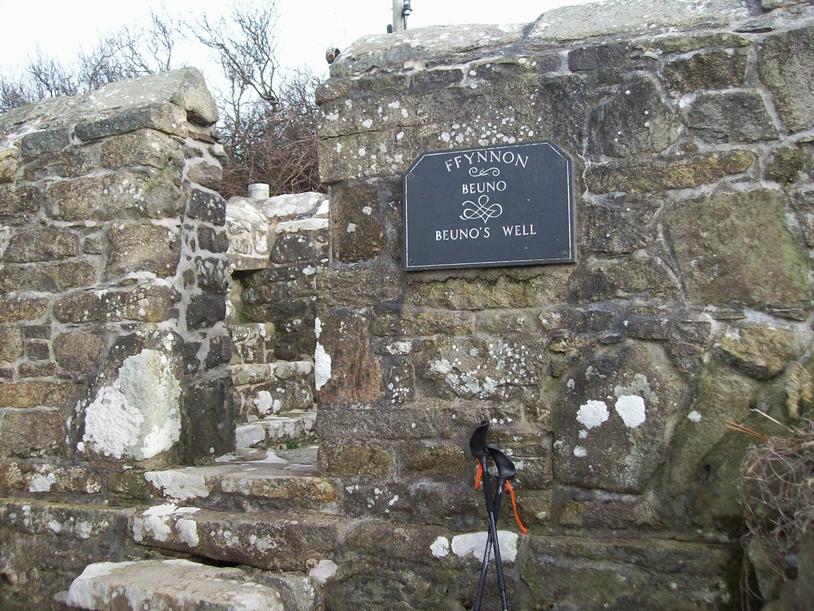
We had hoped that the green route shown on the map would be a nice lane but was mostly a bramble fest and then a small stream. However we made it down to the road and walked back to the car passing
Ffynnon Bueno


No comments:
Post a Comment